Greenland Guidance provided detailed weather forecasting for a Swiss science expedition on the Greenland ice sheet in spring this year. The expedition by the University of Fribourg took three weeks during which they camped in tents at 1700 m above sea level.
Weather is the largest safety hazard to expeditions at the camp’s position in southwest Greenland. Even in spring, temperatures can be dangerously low at -35 C, storms can damage tents, and whiteout conditions can make people lose camp even at 10 m distance. Also other dangers exist, yet it is unlikely to encounter dangerous crevasses or wildlife in this region; crevasses usually form where ice is thinner, closer to the ice sheet margin, whereas polar bears are spotted more frequently where their food sources live – on sea ice and at the coast.
Luckily the Swiss expedition did not encounter overly hazardous weather conditions on this occasion. Our weather forecasts helped them plan their days away from the safety of camp. Each morning at breakfast time they received an Iridium satellite text message containing up to 160 characters worth of weather information for their location and finetuned to their activities. Upon request, or if the situation required it, more weather messages would follow.
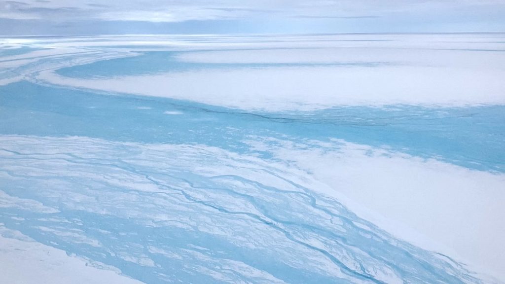
Later in the year, during an exceptional heat wave in summer, we passed over the region where the Swiss had camped. The surface of the area had turned into slush (snow saturated with meltwater), with a multitude streams where usually only snow can be seen. Good news for Swiss research on meltwater in snow. Less good news for those having to recover equipment temporarily stored on the ice sheet, now possibly stuck in refrozen meltwater…


